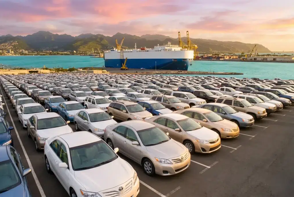


Travel planning in the modern age has become a game of trust. You look at a map, you see a thin line leading to a shoreline, and you assume that a road exists to take you there. At Brief Voy, our recent field research has uncovered a hard truth: many beaches marketed as “accessible” on mainstream travel platforms are effectively cut off from the casual traveler. The gap between a satellite view on your phone and the reality on the ground is where most trips go wrong, leaving travelers stranded at dead-end village paths or washed-out ferry crossings.
We have spent months testing the actual access routes to the hidden corners of the West Bengal and Odisha coastlines. We are not interested in theoretical travel; we are interested in what actually happens when your tires hit the mud or your boat pulls up to a remote ghat. This research is our attempt to provide an honest, unfiltered look at what it truly takes to reach the water in an era of rapidly changing infrastructure and unpredictable tidal patterns.
The Myth of the Doorstep Beach
The most common misconception we encounter is the idea that every coastal destination in India is linked by a paved, all-weather road. In reality, the coastal geography of the Bay of Bengal is defined by shifting river mouths, frequent flooding, and rural landscapes that are designed for agricultural equipment rather than passenger sedans. When a travel blog says a beach is “reachable,” they rarely specify whether you need a high-clearance vehicle, a local guide, or a walk through three miles of soft sand.
At Brief Voy, we define “accessible” not by whether a spot exists on a map, but by the level of logistical effort required to reach it. A beach is not accessible if you have to abandon your car in a village and hope a local boatman is available to take you across a river. If you are not prepared for these gaps in infrastructure, you are not planning a trip; you are setting yourself up for a logistical crisis.
Why Satellite Maps Often Mislead Travelers
It is tempting to rely entirely on digital maps when scouting a new coastal destination, but satellite imagery is a snapshot in time that can be months or even years old. We have visited locations where the “road” shown on a phone screen turned out to be a dirt track that was completely reclaimed by the monsoon rains two years ago. In the delta region, the landscape changes far faster than the servers can update their data.
This is why we stress the importance of ground-truthing your information. If you see a path on a map, treat it as a suggestion rather than a fact. Before you commit to a destination, look for reports from the last few months, or better yet, verify the route with local sources. A digital map is a starting point, but it should never be your final authority on whether a coastal path is actually open to traffic.
The Critical Role of Tidal Logistics
If you are exploring the coast, the tide is the most important factor in your accessibility. We have documented multiple instances where a perfectly valid road was rendered impassable because a high tide flooded a low-lying bridge or an unpaved crossing. In areas like the Sunderbans or the Odisha delta, the rhythm of the water effectively dictates which paths are open and which are closed for the day.
You must stop thinking about your travel schedule in terms of hours and start thinking about it in terms of tides. A route that is perfectly open at 10:00 AM might be completely submerged by 4:00 PM. Brief Voy research shows that the most successful coastal explorers are those who plan their arrivals and departures around the local tidal windows, ensuring they are never caught on the wrong side of a river crossing when the water begins to rise.
Assessing Your Vehicle Against Local Terrain
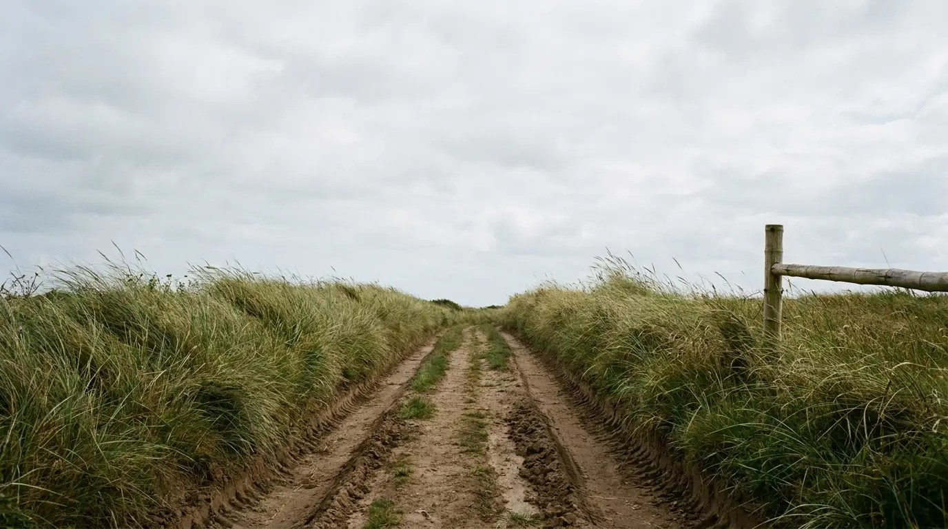
The car you drive in the city is rarely the car you want on a rural coastal road. Many of the “accessible” beaches we researched require navigating narrow, unpaved lanes where a standard sedan would easily bottom out or get stuck in the soft earth. Our research indicates that if you are serious about reaching the truly hidden spots, you need to understand the limitations of your own vehicle before you even leave home.
If you are not driving a high-clearance vehicle, be prepared to park well outside the main destination and complete the final leg of the journey via local transport like a Toto or a cycle van. There is no shame in this; in fact, it is the hallmark of a smart traveler. By accepting that your car has limits, you save yourself the stress of potential mechanical issues in a region where professional roadside assistance is non-existent.
The Human Factor in Remote Access
When the road ends, the local community begins. We have found that the most accurate information about beach accessibility comes from the people who work the land and water every day. If you reach a point where you are unsure if a road is open, stop and talk to the locals. Their knowledge is not just historical; it is real-time, functional information that no travel blog can match.
We treat this as a core part of the Brief Voy ethos: travel is a social activity. When you approach locals with respect and ask for their advice on current conditions, they are almost always happy to steer you toward the safest route. They know which bridges are currently damaged and which river crossings are risky. Do not try to be the hero who figures it out alone; use the wisdom of the community to ensure your own safety.
Redefining What It Means to Be Accessible
Accessibility is often a matter of perspective. For a luxury traveler, accessibility means a paved road directly to a hotel lobby. For an adventurer, it means that the destination is reachable if you have the right equipment and a good pair of walking shoes. We believe that the best coastal experiences are often found in places that are hard to reach, precisely because their difficulty keeps them protected from the impact of mass tourism.
Instead of looking for the easiest way to reach a beach, ask yourself if you are equipped to handle the reality of the landscape. Are you prepared to walk? Are you prepared to wait for a ferry? Are you prepared to navigate without a signal? If the answer is yes, then the coast is fully accessible to you. The barrier is not the terrain; it is the expectation that everything should be made easy for the casual visitor.
Documentation as a Tool for Future Travelers
The reason so many coastal spots feel inaccessible is that there is very little reliable documentation available for independent travelers. We are on a mission to change that by documenting the actual conditions of the routes we take. When you visit a beach, note down the condition of the road, the reliability of the local transport, and the state of the infrastructure. Share this knowledge.
By creating a culture of shared, ground-level information, we make the entire coast more navigable for everyone. We want the next traveler to have a better idea of what to expect than we did. Brief Voy is building this database of real-world experience because we believe that information should be as sturdy and reliable as the ground you walk on. Help us turn the “unknown” into the “understood.”
Final Reflections on Coastal Exploration
Researching beach accessibility is an ongoing process because the coast is never static. What was a clear path yesterday might be a flooded channel today, and that is exactly why this kind of travel is so deeply engaging. It forces you to stay present, to pay attention to your surroundings, and to respect the power of the natural environment. You are not just visiting a beach; you are engaging with a living system, much like the delicate biodiversity found at Bichitrapur Mangrove Sanctuary.
We will continue to test these routes, gather data, and share the truth about what it takes to reach the water. If you are willing to embrace the uncertainty and prepare for the realities of the delta, you will find beauty that simply doesn’t exist in the crowded, easy-to-reach tourist zones. Keep your expectations grounded, stay curious, and always be ready to adapt. That is the only way to truly explore the coast.